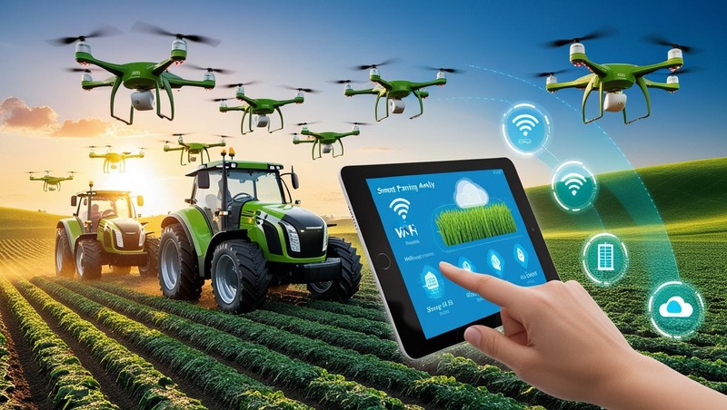
Drones are rapidly transforming the way modern agriculture is practiced, marking a new era of efficiency, accuracy, and data-driven decision-making in the precision farming landscape. As farmers seek smarter solutions to optimize crop production and manage resources effectively, drones are emerging as essential tools that offer unique aerial perspectives and real-time insights.
One of the most significant contributions of drones to precision farming is their ability to provide high-resolution aerial imagery. These images allow farmers to monitor crop health, detect pest infestations, identify areas affected by disease, and assess plant growth at various stages. By capturing data from above, drones can reveal patterns and issues that may not be visible at ground level, enabling timely interventions and reducing yield losses.
Download PDF Brochure @ https://www.marketsandmarkets.com/pdfdownloadNew.asp?id=1243
Drones are also revolutionizing field mapping and soil analysis. Through multispectral, thermal, and hyperspectral imaging, they can assess soil variability, moisture content, and nutrient levels with exceptional precision. This information is critical for creating accurate prescription maps for variable rate application of fertilizers, pesticides, and irrigation, ensuring that each part of the field receives the exact treatment it needs.
Spraying drones are another game-changer in precision agriculture. These unmanned aerial vehicles can apply pesticides and fertilizers with greater accuracy and efficiency than traditional methods. They are especially useful in difficult terrain or for targeted spraying, minimizing chemical usage and reducing exposure to harmful substances for farm workers. This not only lowers costs but also promotes environmentally sustainable practices.
Drones significantly enhance the monitoring of large and remote farming areas. Traditional field inspections can be time-consuming and labor-intensive, especially for vast agricultural lands. With drones, farmers can conduct regular surveys quickly and gather data frequently, improving the ability to track changes over time and make proactive decisions based on current field conditions.
The real-time data collection capability of drones supports precision farming by integrating seamlessly with farm management software and analytics platforms. By combining drone data with artificial intelligence and machine learning algorithms, farmers can gain actionable insights that optimize planting schedules, resource allocation, and harvest planning. This fusion of technology leads to better yields, lower input costs, and more efficient farm operations.
Moreover, drones play a vital role in disaster assessment and recovery in agriculture. In the event of natural disasters such as floods, droughts, or storms, drones can quickly assess the extent of damage and help guide recovery efforts. Their ability to access hard-to-reach areas ensures a swift response, allowing farmers and authorities to make informed decisions on replanting, insurance claims, and resource reallocation.
The growing accessibility and affordability of drone technology are making it more feasible for small and mid-sized farmers to adopt precision farming techniques. As regulations become more drone-friendly and awareness of their benefits increases, drone usage in agriculture is expected to rise significantly.
In conclusion, drones are at the forefront of the digital transformation in agriculture. By providing unparalleled visibility, efficiency, and precision, they are reshaping the precision farming landscape and empowering farmers to meet the demands of modern agriculture with confidence and sustainability.